…using GIS to highlight areas where projects are most needed and provide the most benefit. Currently, Herrera is providing GIS support to the City of Kent; which recently ranked as…
Search results:

Subject Matter Expert: Jenn Schmidt, GISP
Jenn Schmidt, GISP, is a Spatial Science Director at Herrera with 17 years of experience using GIS and related technologies to map and model geospatial trends in rivers and floodplains…
GIS DAY
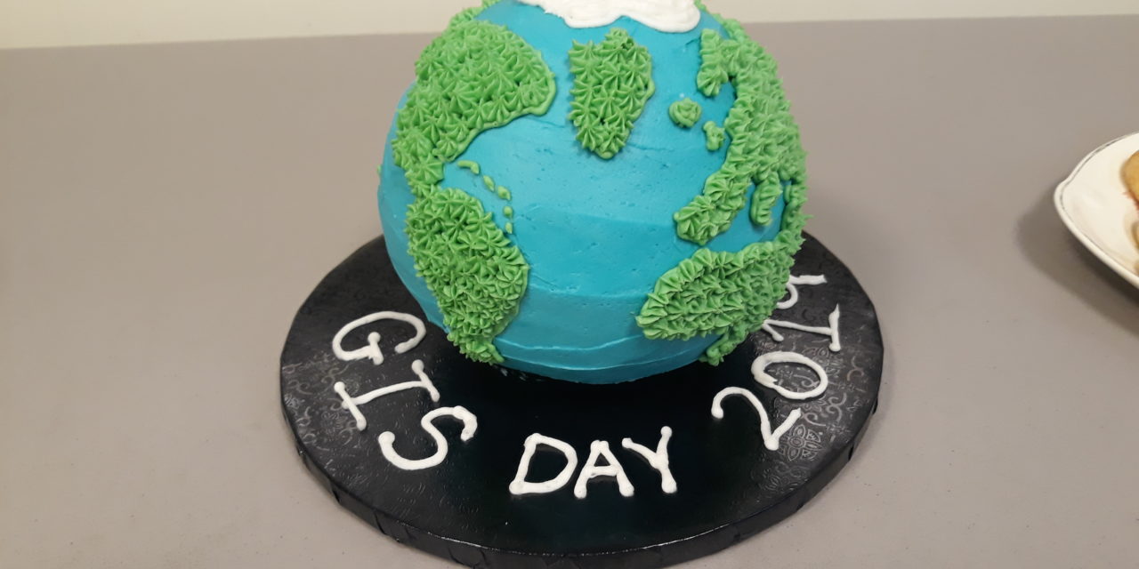
Once again, it is our favorite November holiday. Its National GIS Day! In the 19 years since the first GIS Day was celebrated in 1999, it is not a stretch…

National GIS Day
…celebration of geospatial technology that is GIS Day! In the 19 years since the first GIS Day was celebrated in 1999, it is not a stretch to say that GIS…

Hi-Tech Habitat: How GIS Can Help Evaluate the Effects of Restoration on Salmon
…Cedar River Trail, the Cedar River is popular for recreation and is also home to various aquatic wildlife, including chinook, coho, and sockeye salmon. In 2020, Herrera’s GIS team began…

See Herrera’s Jenn Schmidt Present on Using GIS to Center Equity at CASQA 2022
…Data Tools Track to see Herrera Spatial Science Manager, Jenn Schmidt, GISP present on Lessons Learned: Leveraging GIS to Center Equity and Environmental Justice in Stormwater Planning. This session will…

Ian David Crickmore, GISP
At my core I am geographer and natural historian. I use the science of ‘space’ and ‘place’ and the tools of GIS, remote sensing, and cartography to explore the relationships…

Telling Stories Through Interactive Deliverables
…about our use of these cutting-edge GIS technologies below. Increasing Community Engagement through ArcGIS Applications Community engagement played an integral role in Herrera’s project with the City of Kent to…

Jenn Schmidt, GISP
I’m passionate about maps, statistics, and being a good environmental steward, and feel lucky that my work allows me to combine all three. My favorite part of my job is…

Year-End Reflection: State Parks Shoreline Vulnerability Assessment and Climate Adaptation
…were compiled, including factors such as wave exposure and the material composition of the shoreline. Using ArcGIS FieldMaps Designer, Lauren’s GIS efforts produced field forms that kept field data organized…

Meet Herrera’s Drone Team
…aerial imagery at the Bainbridge Island Native Food Forest Stormwater Park for GIS modeling. Rebecca Stebbing- Rebecca is a GIS analyst who is a certified Remote Pilot under the FAA’s…

Herrera Announces 2022 OORP Awards
…(or recycling) into an amazing work of art, this person thinks outside the box to find innovative solutions in their projects and around the office. Winner: Lauren Ode-Giles, GIS Analyst The…
Subject Matter Expert: Jenn Schmidt, GISP
Jenn Schmidt, GISP, is a Spatial Science Director at Herrera with 17 years of experience using GIS and related technologies to map and model geospatial trends in rivers and floodplains…
GIS DAY
Once again, it is our favorite November holiday. Its National GIS Day! In the 19 years since the first GIS Day was celebrated in 1999, it is not a stretch…
National GIS Day
…celebration of geospatial technology that is GIS Day! In the 19 years since the first GIS Day was celebrated in 1999, it is not a stretch to say that GIS…
Hi-Tech Habitat: How GIS Can Help Evaluate the Effects of Restoration on Salmon
…Cedar River Trail, the Cedar River is popular for recreation and is also home to various aquatic wildlife, including chinook, coho, and sockeye salmon. In 2020, Herrera’s GIS team began…
See Herrera’s Jenn Schmidt Present on Using GIS to Center Equity at CASQA 2022
…Data Tools Track to see Herrera Spatial Science Manager, Jenn Schmidt, GISP present on Lessons Learned: Leveraging GIS to Center Equity and Environmental Justice in Stormwater Planning. This session will…
Ian David Crickmore, GISP
At my core I am geographer and natural historian. I use the science of ‘space’ and ‘place’ and the tools of GIS, remote sensing, and cartography to explore the relationships…
Telling Stories Through Interactive Deliverables
…about our use of these cutting-edge GIS technologies below. Increasing Community Engagement through ArcGIS Applications Community engagement played an integral role in Herrera’s project with the City of Kent to…
Jenn Schmidt, GISP
I’m passionate about maps, statistics, and being a good environmental steward, and feel lucky that my work allows me to combine all three. My favorite part of my job is…
Year-End Reflection: State Parks Shoreline Vulnerability Assessment and Climate Adaptation
…were compiled, including factors such as wave exposure and the material composition of the shoreline. Using ArcGIS FieldMaps Designer, Lauren’s GIS efforts produced field forms that kept field data organized…
Meet Herrera’s Drone Team
…aerial imagery at the Bainbridge Island Native Food Forest Stormwater Park for GIS modeling. Rebecca Stebbing- Rebecca is a GIS analyst who is a certified Remote Pilot under the FAA’s…
Herrera Announces 2022 OORP Awards
…(or recycling) into an amazing work of art, this person thinks outside the box to find innovative solutions in their projects and around the office. Winner: Lauren Ode-Giles, GIS Analyst The…