2010
TQ2479 : Charles House demolition from Warwick Road W14
taken 14 years ago, near to Kensington, Kensington And Chelsea, England
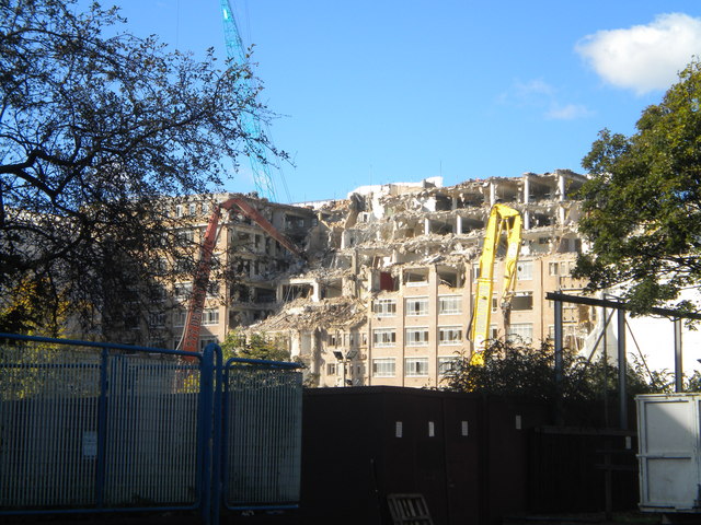
Charles House demolition from Warwick Road W14
This former Social Security office frontage is in Kensington High Street - the building in its former guise can be seen on a previous picture Link
 Map © Crown Copyright")
TIP: Click the map for more Large scale mapping
- Grid Square
- TQ2479, 637 images (more nearby 🔍)
- Photographer
- Robin Sones (more nearby)
- Date Taken
- Wednesday, 20 October, 2010 (more nearby)
- Submitted
- Wednesday, 20 October, 2010
- Subject Location
-
OSGB36:
 TQ 246 790 [100m precision]
WGS84: 51:29.7781N 0:12.3620W - Camera Location
-
OSGB36: TQ 247 790
- View Direction
- WEST (about 270 degrees)